
Trail Development and Maintenance

Well-designed and well-maintained trails are the backbone of outdoor recreation. They connect people to nature, encourage healthy lifestyles, and support local economies through tourism and community engagement.
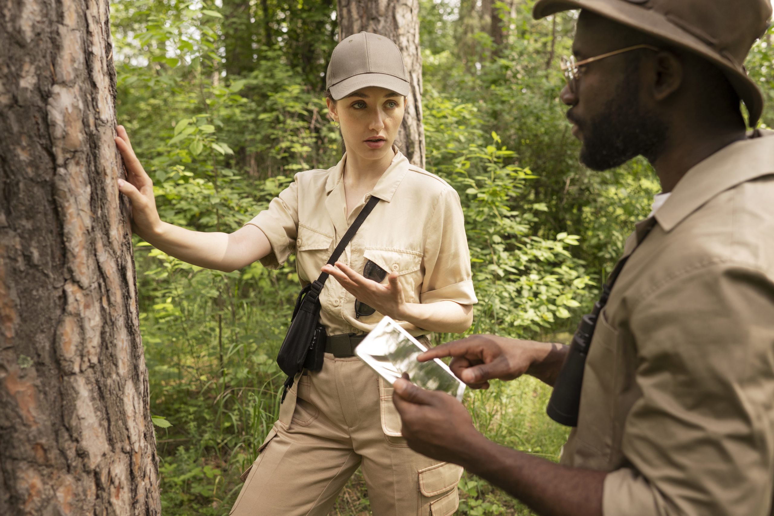
Whether for hiking, biking, or multi-use purposes, trails provide safe and sustainable access to landscapes, while protecting the ecosystems they pass through.

But successful trail systems don’t happen by chance. They require careful planning, regular maintenance, and reliable data to ensure they remain safe, accessible, and environmentally sustainable. Waywyser provides the digital tools needed to design, manage, and fund trail networks that communities can rely on for generations. 
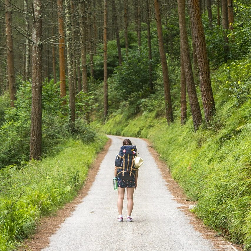
Hiker standing on a forest path with packed hiking bag on a summer day

Key Trail Solutions that Waywyser Helps to Manage

  • Trail Planning & Design (mapping routes, accessibility, and connectivity).

  • Construction Support (tracking assets, recording progress, managing contractors).

  • Maintenance & Safety (inspections, repairs, erosion control, hazard response).

  • Usage Monitoring (traffic data for hikers, cyclists, or multi-use visitors).

  • Accessibility Planning (inclusive design for all ages and abilities).

  • Sustainable Development (balancing recreation with biodiversity and cultural heritage).

WayWyser

Track every activity, close tasks sooner

Funding Opportunities  

Trail development and maintenance can attract diverse funding—from government recreation schemes and EU rural development programmes to tourism boards, health initiatives, and community grants. Funders increasingly require evidence of usage, safety, and sustainability. Waywyser strengthens applications by providing mapping, reporting, and monitoring tools that demonstrate both community value and long-term stewardship. With Waywyser, you’re better equipped to secure funding and deliver trails that serve both people and nature.

Using Waywyser to manage Trails

Mobile GIS Reporting

Log trail conditions, damage, or hazards directly from the field. Rangers, volunteers, and community members can report issues instantly from their phones.

Geo-located Finding Submission

Each report is mapped precisely, helping managers quickly locate and resolve issues such as downed trees, erosion, or broken infrastructure.

Task Creation and Escalation

Trail issues can be converted into tasks, assigned to staff, and escalated if urgent, ensuring safety hazards are dealt with promptly.

Custom Form Building

Develop digital forms for trail inspections, environmental monitoring, or community feedback—tailored to the unique needs of hiking, biking, or multi-use trails.

Third-Party Integration

Waywyser integrates with systems like ESRI, Sport Ireland, or national trail databases, making it easy to align trail management with broader recreation strategies.

Asset Management

Track trail-related infrastructure such as bridges, signage, benches, or drainage systems, ensuring maintenance and budgeting are proactive rather than reactive.

Traffic Monitoring

Monitor trail usage patterns to understand visitor flows, prevent overuse, and support funding requests with real data on community benefit.

Preventative Maintenance

Plan routine trail inspections and repairs before issues escalate, extending trail lifespan and reducing long-term costs.

Offline Maps

 Layer environmental data, land ownership, or heritage features over trail maps to balance recreation with conservation and cultural protection.

Custom Overlays

Add overlays for soil types, water catchments, biodiversity corridors, or crop rotations to guide smarter agricultural decision-making.

Mobile GIS App & Management System - WayWyser Platform

Let us help you achieve your monitoring and management goals.

Contact us using the web form, or email us at info@evolvetech.ie
Thank you for your enquiry.
There was an error trying to send your message. Please try again later.

By submitting this form I authorise the use of my personal data by WayWyser. View our Privacy Policy

Mobile GIS App & Management System - WayWyser Platform

We’ve already successfully trialled WayWyser with 12 out of 13 rural recreation officers in Ireland who are rolling it out on their trails.
Mobile GIS App & Management System - WayWyser Platform

Landowners in the MacGillycuddy Reeks EIP agri-environmental project are surveying walkers with WayWyser.

Mobile GIS App & Management System - WayWyser Platform

Forum Connemara EIP is using WayWyser to monitor and record invasive species.