
Green Infrastructure (Parks, Greenways, Waterfronts)

Green infrastructure (parks, greenways, and waterfronts) forms the backbone of sustainable communities. These spaces provide recreation, climate resilience, biodiversity corridors, and improved urban liveability.
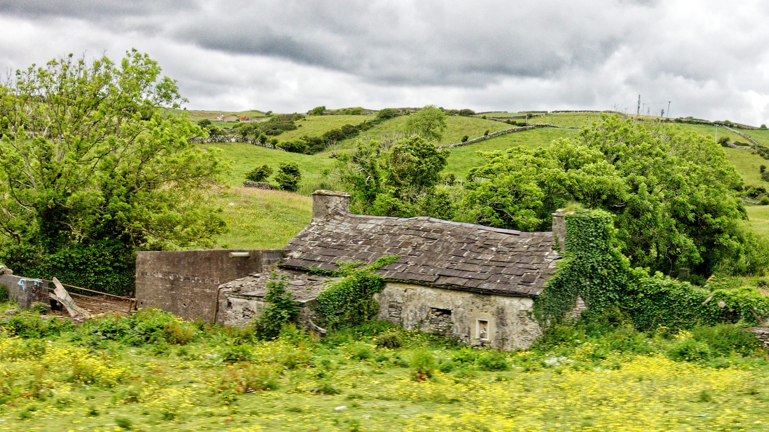
They cool cities, manage stormwater, connect people with nature, and enhance social wellbeing while supporting local economies through tourism and investment.

But creating and managing green infrastructure requires more than planting trees or opening a park. It demands careful planning, integrated management, and long-term investment to balance ecological, recreational, and social needs. Waywyser offers the tools that communities, NGOs, and governments need to ensure green infrastructure is inclusive, resilient, and built to last. 
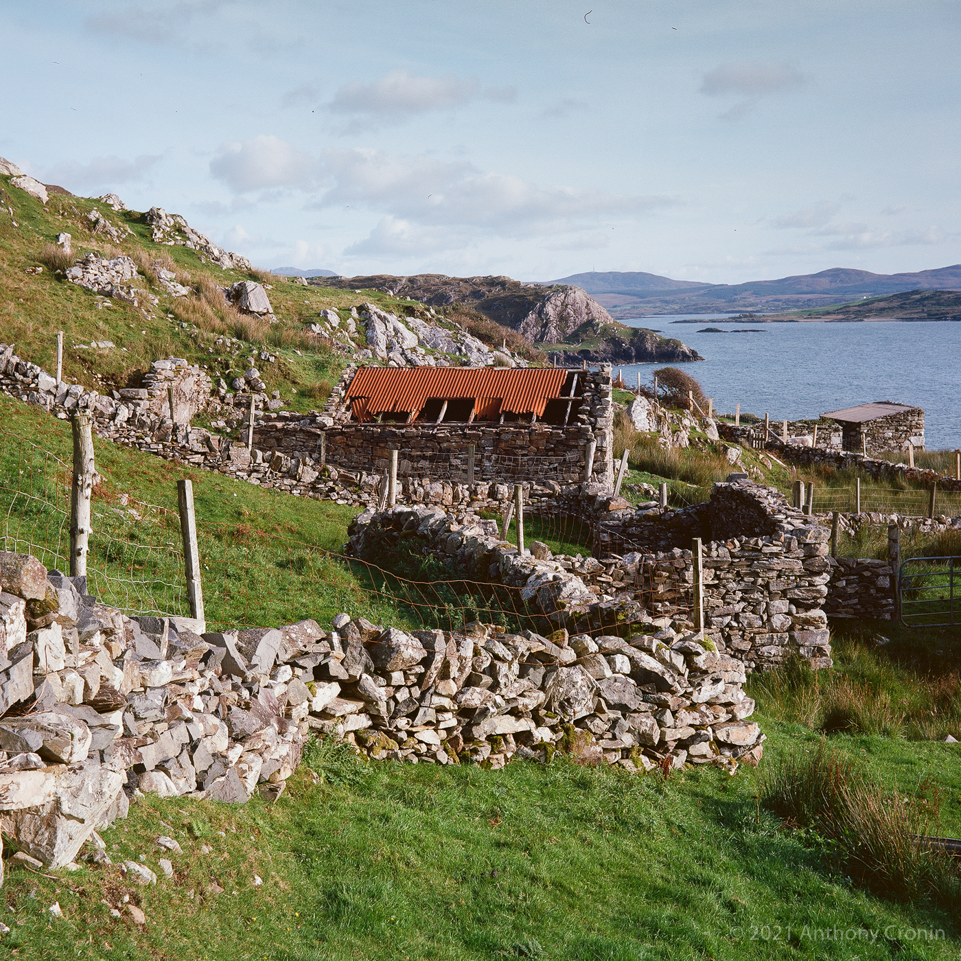
Key Green Infrastructure Solutions that Waywyser Helps to Manage

  • Urban Parks & Open Spaces (design, maintenance, and visitor monitoring).

  • Greenways & Connectivity (trail corridors, cycling routes, nature links).

  • Waterfront Development (riverwalks, canals, coastal access).

  • Stormwater & Climate Resilience (wetlands, tree planting, natural flood defences).

  • Biodiversity Corridors (habitat connectivity across urban and rural areas).

  • Community-Led Spaces (allotments, pocket parks, rooftop gardens).

WayWyser

Track every activity, close tasks sooner

Funding Opportunities  

Green infrastructure projects attract diverse funding- from climate adaptation programs and biodiversity grants, to urban regeneration funds and community wellbeing initiatives. Increasingly, funders demand evidence of both environmental and social impact. Waywyser helps organisations strengthen proposals by providing data-rich insights, visualisations, and reporting tools. With Waywyser, you can secure funding to create green infrastructure that protects ecosystems, supports communities, and drives sustainable growth.

Waywyser Features to manage Agricultural Land

Mobile GIS Reporting

 Easily record conditions of green spaces – such as broken equipment, litter hotspots, or flooding – directly from the field.

Geo-located Finding Submission

Pinpoint exact locations for maintenance needs, ecological observations, or accessibility issues, making responses faster and more targeted.

Task Creation and Escalation

Turn reports into tasks for parks or greenway teams, ensuring issues like damaged play equipment or blocked pathways are resolved quickly.

Custom Form Building

Design forms for site inspections, biodiversity surveys, or public feedback, allowing tailored data collection across varied green spaces.

Third-Party Integration

Seamlessly connect with urban planning systems, ESRI GIS, and national recreation or climate databases, enabling joined-up decision-making.

Asset Management

 Track and manage green infrastructure assets—benches, lighting, trails, signage—extending their life and ensuring safety.

Traffic Monitoring

 Monitor how parks, greenways, and waterfronts are being used to balance community needs with ecological carrying capacity.

Preventative Maintenance

Plan scheduled upkeep of facilities, trails, and stormwater systems to reduce costs and ensure reliability.

Offline Maps

 Support park and greenway management in areas with poor connectivity, syncing data once reconnected.

Custom Overlays

Layer flood maps, biodiversity corridors, urban heat zones, or accessibility data to make better planning and management decisions.

Mobile GIS App & Management System - WayWyser Platform

Let us help you achieve your monitoring and management goals.

Contact us using the web form, or email us at info@evolvetech.ie
Thank you for your enquiry.
There was an error trying to send your message. Please try again later.

By submitting this form I authorise the use of my personal data by WayWyser. View our Privacy Policy

Mobile GIS App & Management System - WayWyser Platform

We’ve already successfully trialled WayWyser with 12 out of 13 rural recreation officers in Ireland who are rolling it out on their trails.
Mobile GIS App & Management System - WayWyser Platform

Landowners in the MacGillycuddy Reeks EIP agri-environmental project are surveying walkers with WayWyser.
Mobile GIS App & Management System - WayWyser Platform

Forum Connemara EIP is using WayWyser to monitor and record invasive species.