WayWyser Mobile App
See Inside Features
What Made us Unique


GIS Reporting
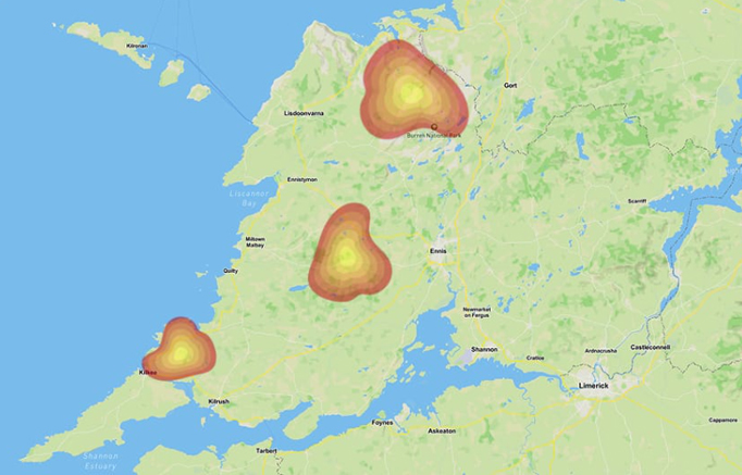
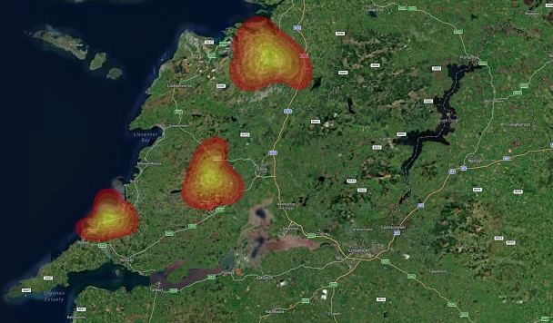
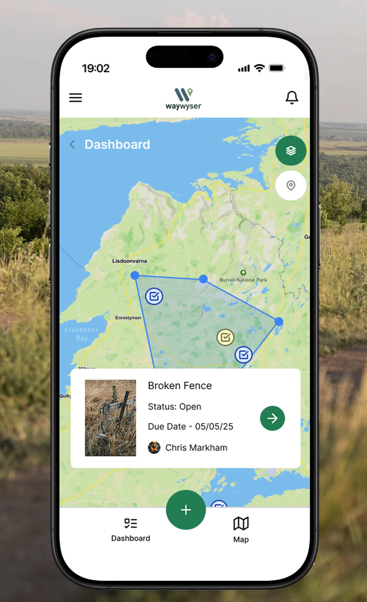
Waywyser’s mobile app turns your team’s mobile phones into powerful GIS reporting tools. As you log issues, complete inspections, or track maintenance, the app automatically captures geographic data – pinpointing the exact location of every report with GPS accuracy. No extra devices, no extra steps.
This geospatial data feeds directly into your interactive maps, giving you a clear, real-time view of where problems are happening, what’s been resolved, and where to focus next. Whether you’re managing trails, assets, or environmental risks, Waywyser’s GIS-enabled reporting helps you make smarter, faster decisions – right from the field.
Offline Maps
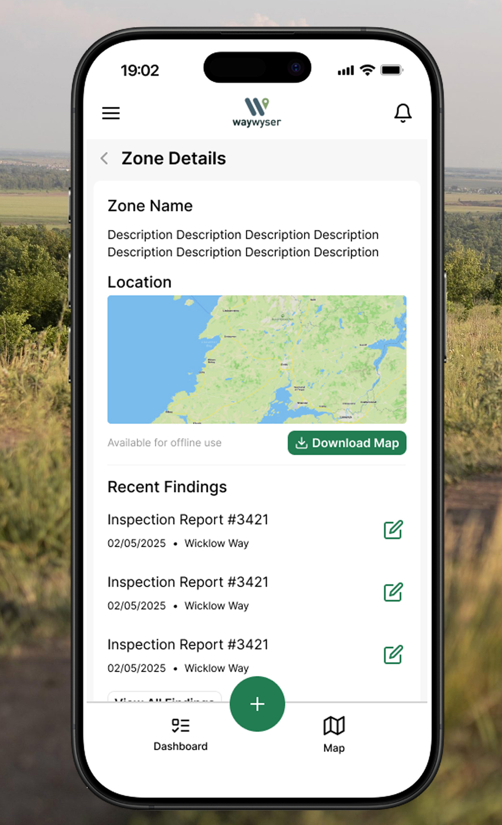
Working in the outdoors, means that you will often be in regions with poor (or no) service. Waywyser’s mobile app includes full offline map functionality – so you can keep working, even when you’re out of signal. Simply download your maps in advance and access trails, zones, tasks, and asset information from anywhere – whether you’re deep in the forest, along a remote coastline, or beyond mobile coverage.
All your activity (issue reports, photos, inspections, and notes) is saved locally and automatically synced to the system once you’re back online. With offline maps, your team stays productive and informed no matter where the job takes them, with no gaps in data or delays in reporting.
Asset Management
Waywyser helps you keep a complete, up-to-date record of your trail and site assets – from signage and footbridges to gates, benches, and drainage features. Using the mobile app, you can log new assets, update existing ones, and attach photos, GPS coordinates, and condition notes – right from the field.
Each asset is stored on your interactive map and linked to its maintenance history, inspection records, and related tasks. This gives you a clear view of what you have, where it is, and what needs attention – so you can plan repairs, replacements, and budgets with confidence.
Team Communications
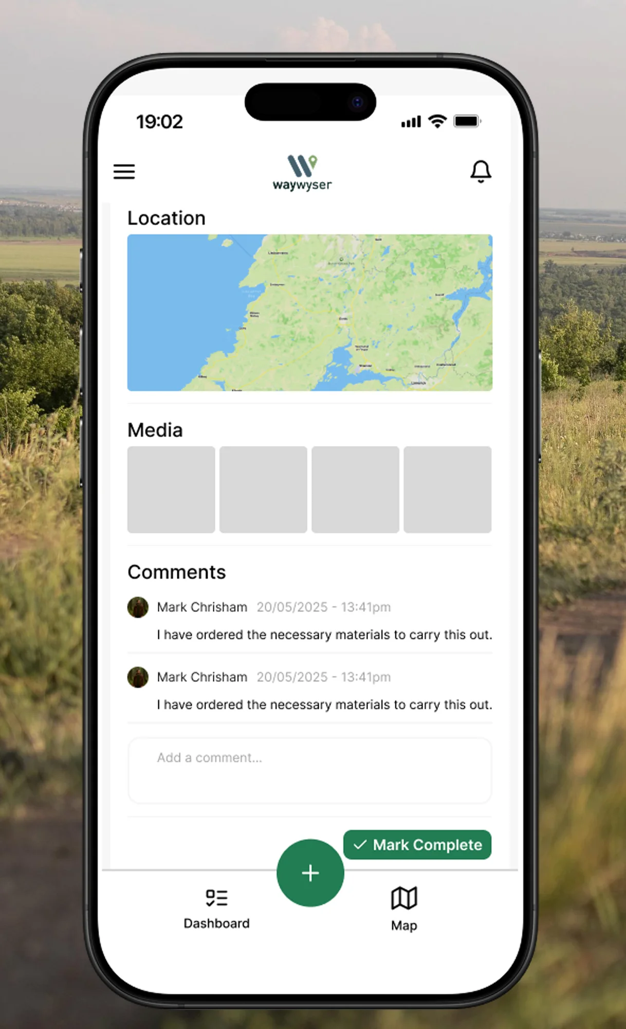
Waywyser makes it easy for teams to stay connected – right where the work is happening. Field staff and managers can leave comments directly on tasks, findings, inspections, and assets, keeping all communication tied to the relevant item.
No more chasing emails or lost text threads. With in-line replies, teams can ask questions, provide updates, and resolve issues within the platform – so every conversation stays clear, contextual, and easy to track. Whether you’re in the office or out on the trail, everyone stays on the same page.
Multimedia Geo-referencing
Waywyser lets you capture more than just data – it captures context. Every issue, asset, inspection, or finding logged in the mobile app is automatically geo-referenced with precise GPS coordinates. You can also attach photos, videos, audio notes, and written comments to bring each entry to life.
This powerful combination of location data and multimedia gives managers a clearer picture of what’s happening on the ground – whether it’s a damaged trail section, invasive species, or worn signage. It’s a smarter, more complete way to document and understand the condition of your site.
Task Resolution
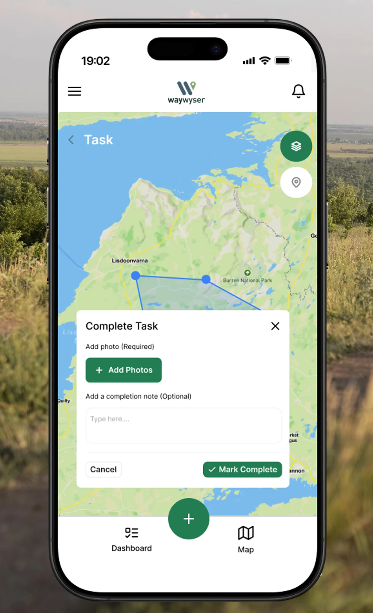
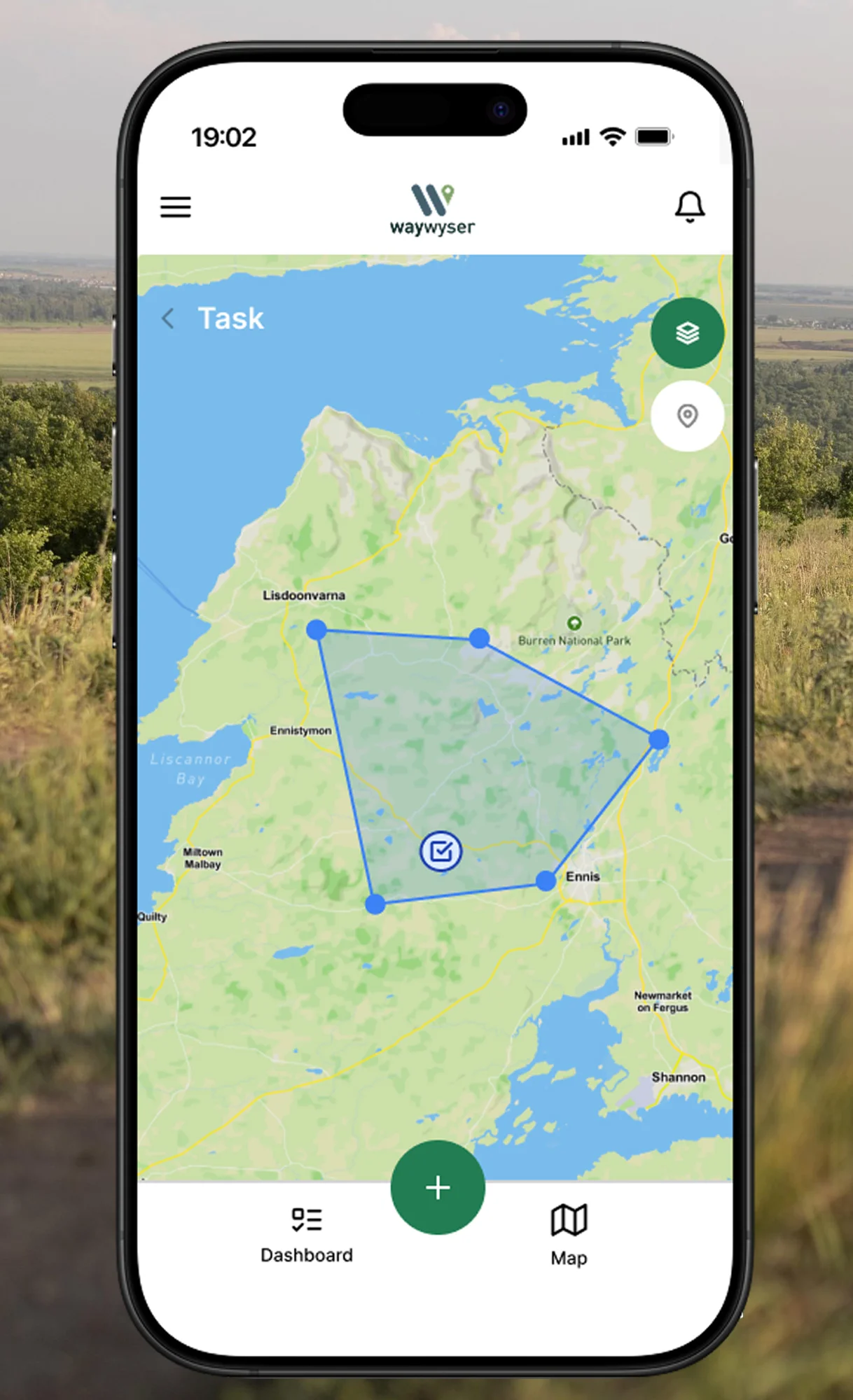
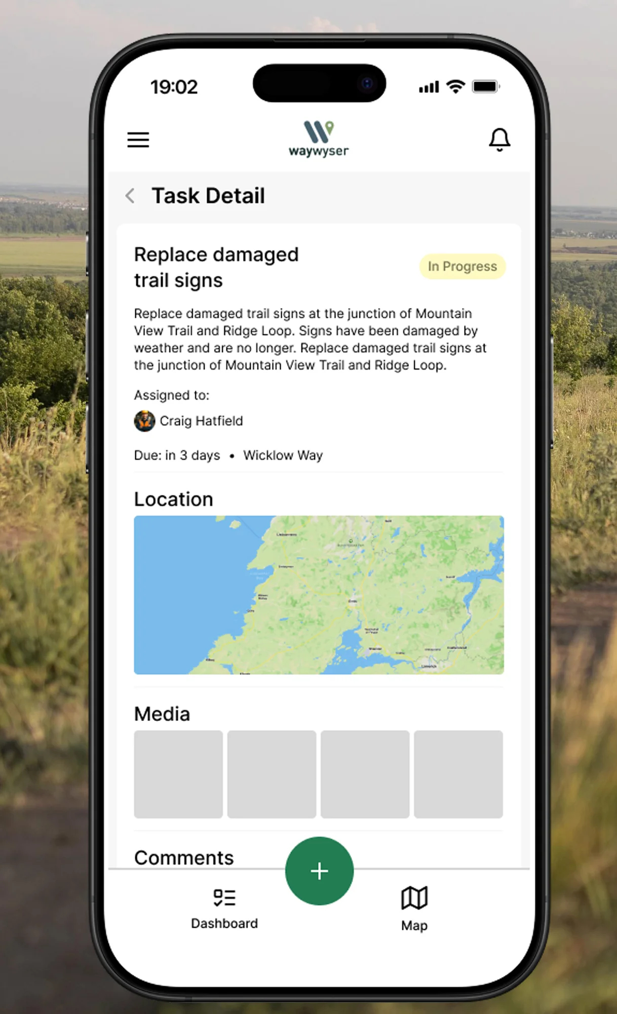
Waywyser makes it easy to turn problems into progress. Tasks can be created directly from findings, inspections, or reports – complete with location data, priority levels, and supporting media. Once assigned, team members can update the task status, leave comments, upload photos, and mark it as resolved – all from the mobile app.
This real-time task workflow keeps everyone informed and accountable. Managers can see exactly what’s been done, where, and when – helping you close the loop faster and ensure nothing slips through the cracks.