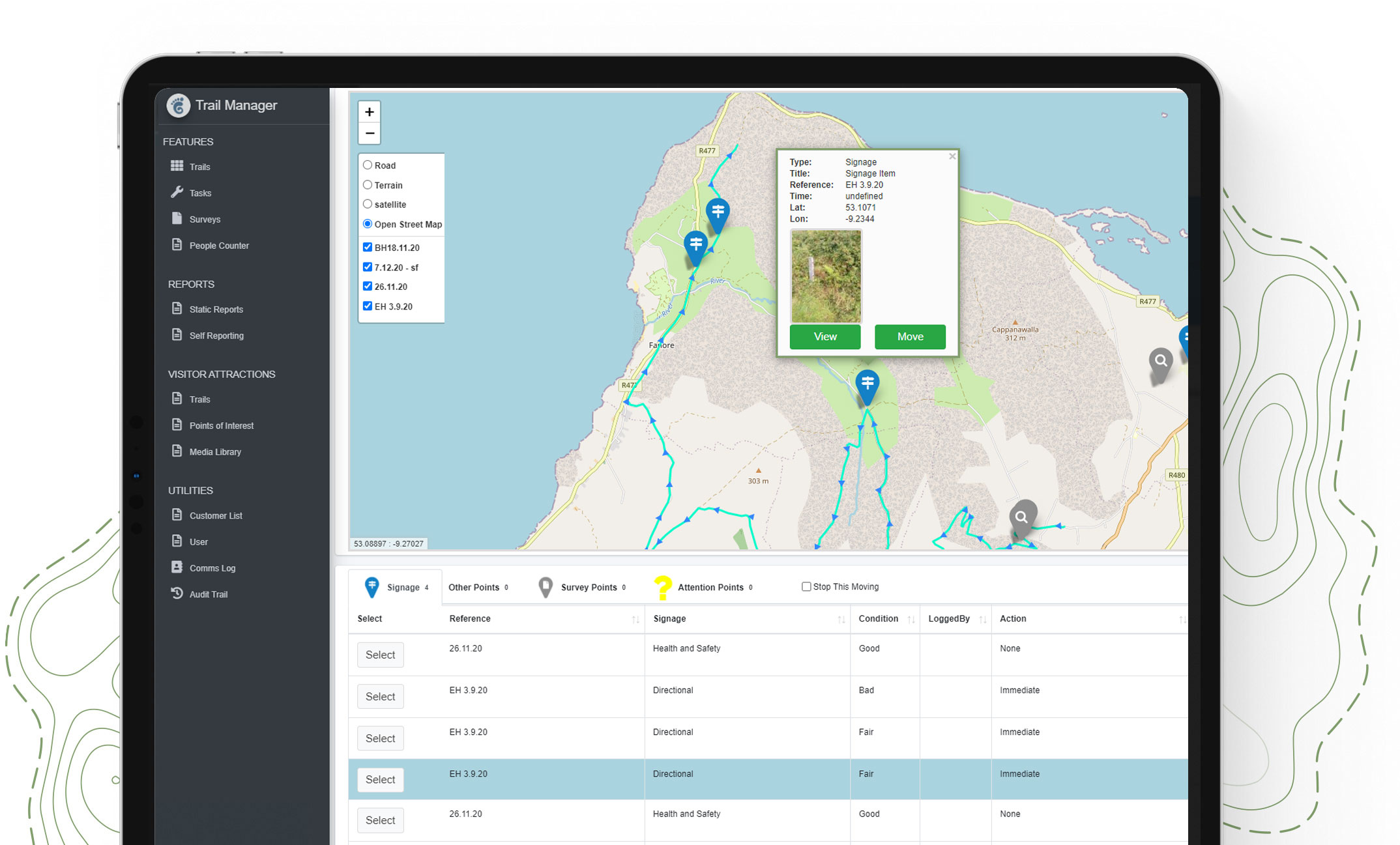
Waywyser Portal
Experience the future of field operations with our innovative Mobile GIS Portal, a game-changer in GIS data management.
Designed with the user in mind, our portal simplifies the interaction with complex GIS data, making it simple to handle formats like geojson, shapefile, and gpx files. This ease-of-use positions it as a leading user-friendly GIS solution, perfect for professionals across industries.
Accuracy is paramount in field operations, and our portal delivers with its precision GPS functionalities.
These features are indispensable for tasks that require exact geographic coordinates, making our portal an essential tool for accurate GIS data collection and mapping.


Task management is streamlined like never before with our customizable dashboards. These dashboards are not just about managing tasks efficiently; they redefine interactive GIS mapping by allowing users to engage directly with maps, enhancing their mapping experience and operational efficiency.
Incorporating integrated survey positioning ensures that all survey data is precisely aligned within the GIS framework.
The portal’s capability to export data in the versatile GeoJson format facilitates seamless sharing and compatibility, addressing the growing need for compatible GIS data sharing in a digitally connected world.
Our Mobile GIS Portal is more than just a device; it’s a perfect blend of high-end GIS technology and everyday operational needs. It’s not just a tool, but a companion for anyone dealing with GIS data management or field surveying and looking to take their field operations to the next level.


